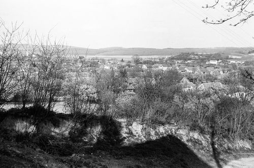
Pókaszepetk, Zala, A község látképe
| Collection | Göcseji Múzeum gyűjteményei |
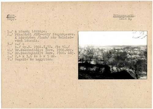
| Inventory number | 5105 |
| Title | A község látképe |
| Author | Dr. Szentmihályi Imre |
| Type | Fotó |
| Description | Pókafáról (délnyugatról) fényképezve. A háttérben (domb) már Zalaistvánd látszik |
| Date | 1966.04 |
| Place |
Pókaszepetk
Zala |
| Keywords | Néprajzi fotótár; Néprajz; |
| Other fields |
Méret: 2,4 x 3,6 és 6 x 9 cm |
| Automatic keywords | természet; nature; szabadban; outdoors; közlekedés; transportation; jármű; vehicle; fa; tree; növény; plant; növényzet; vegetation; vidék; countryside; talaj; ground; föld; land; épület; building; fenyő; fir; fenyő; abies; sikló; cable car; kábel; cable; városi; urban; |
| Images |
|
No user provided keywords
No comments